
Umpqua National Forest. Photo by Justin Hartney.
If you live in Oregon, there's no doubt you've seen the name: Umpqua! According to The Oregon Encyclopedia, the name "Umpqua" derives from the Native American term for "place along the river." Other theories are that Umpqua may mean "thundering water," "dancing water," or to "bring across the river."
THE PEOPLE
In the early 1800s, fur traders working for the still-existent Hudson's Bay Company were the first non-natives encountered by the Umpqua and other Oregon native peoples.
Tragically, the Umpqua suffered greatly from a smallpox epidemic in 1838, which wiped out huge numbers of their population.
The Umpqua people are a combination of several different tribes inhabiting the present-day Oregon area. Today, the Umpqua people are comprised of the Cow Creek Tribe, the Confederated Tribes of the Coos, Lower Umpqua Tribe, and the Siuslaw Indians.

Drawing of an Umpqua man, by Alred Thomas Agate.
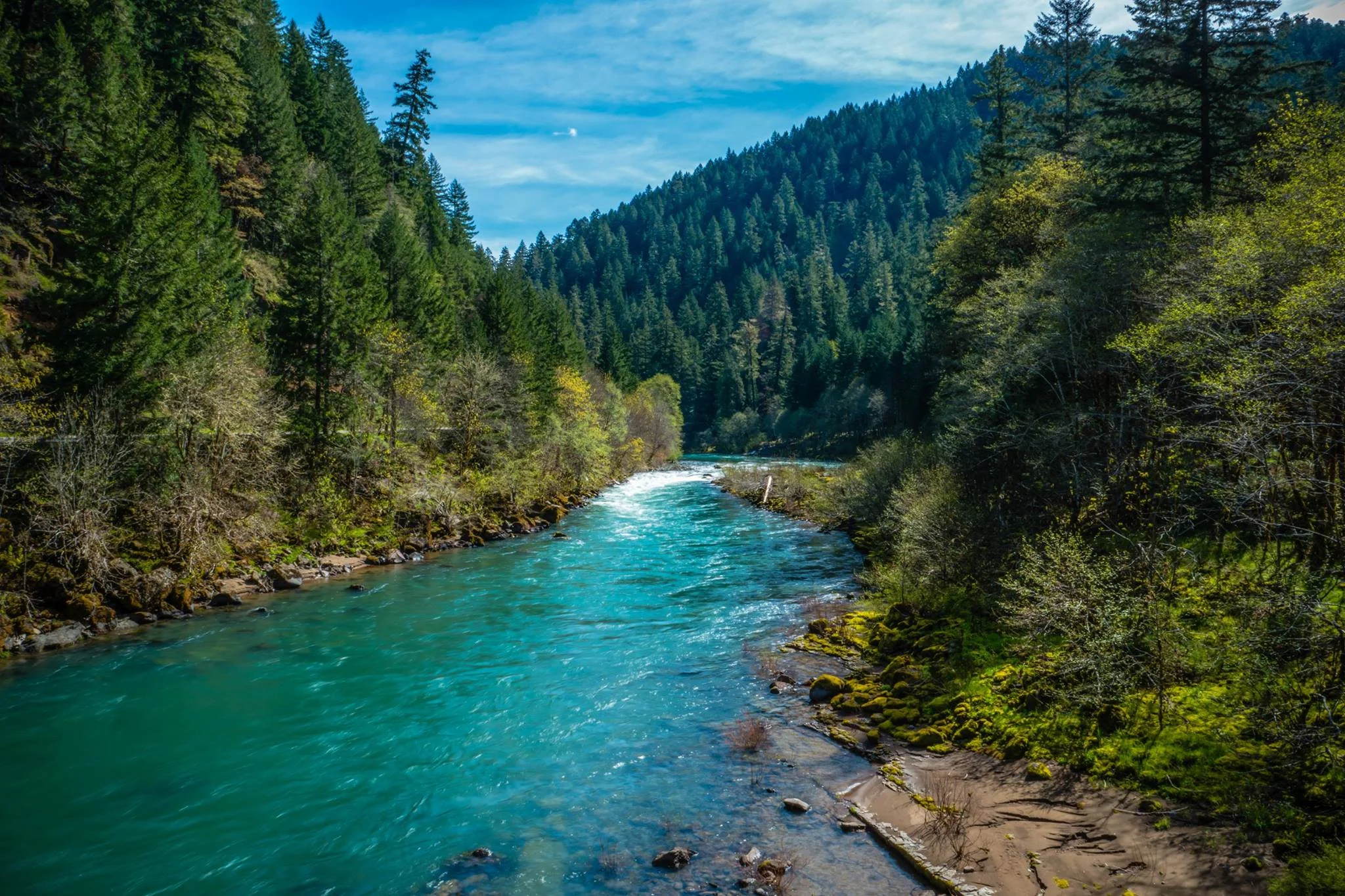
North Umpqua River. Photo by Renee Seeker.
The Umpqua has two main tributaries, aptly named the North Umpqua River and the South Umpqua River.
Both forks rise in the Southern Oregon Cascades, and flow generally west for over 100 miles to join together near the city of Roseburg.

Toketee Falls in Umpqua National Forest, by Sights Better Seen.
The North Umpqua (pictured above) is famous for its emerald hue.
The North Umpqua is derived from the year's snowmelt. The melting snow is trapped in volcanic soil and pumice, and released during the summer months, resulting in consistently cooler temperatures.
During the summer the flow of the river is approximately 20 times that of the nearby South Umpqua.
THE RIVER
A British explorer named the river "Umpqua" in 1825 after hearing the term used among the local tribes in the region.
Today, the Umpqua River is known to have some of the world's best fly-fishing, salmon fishing, and sturgeon fishing. The river is famous for its small-mouth bass, striped bass, and shad population.

The Umpqua River. Photo from Fishing the Klamath.
There are many other attractions along the river, like the Umpqua Hot Springs, and Toketee Falls within the National Forest.

Umpqua Hot Springs, by The Outdoor Project.

Umpqua National Forest. Photo from the USDA website.
THE NATIONAL FOREST
There's the 983,129-acre national forest just southeast of Central Oregon. It shares a border with our beloved Crater Lake National Park! This national forest has tons of great attractions within its borders, and is home to over 250 wildlife species!

Pine Marten in Umpqua National Forest. Photo by Armchair Explorer.
The Umpqua National Forest has three different Wilderness areas: Boulder Creek Wilderness, Mount Thielsen Wilderness, and the Rogue Umpqua Divide Wilderness.
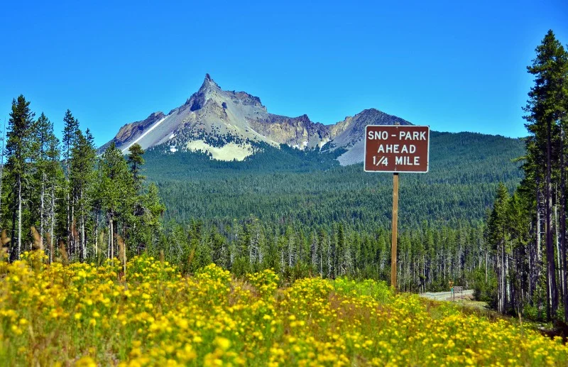
Photo from Ashland Daily Photo.
MOUNT THIELSEN
Mount Thielsen Wilderness is 26, 593 acres, was carved by glaciers, and contains the 9,182-foot-tall Mount Thielsen. The pointy jagged summit is commonly referred to as the "Lightning Rod of the Cascades” due to frequent lighting strikes.
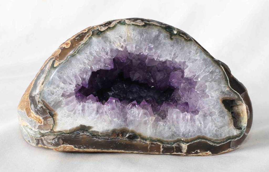
The frequent lighting strikes have resulted in a mass of fulgurites (glassy rock) to form on the top 10 feet of Mount Thielsen's peak. The lighting literally melts the surface of the rock to leave a glassy sheen!

Soda Springs, in the Boulder Creek Wilderness of the Umpqua National Forest. Photo from the USFS.
The name "Umpqua" can be found all throughout Oregon, but perhaps the tastiest namesake is the delicious local ice cream!

To visit the Umpqua National Forest, check out Travel Oregon's list of campsites, rentals, and pertinent wilderness information.