
The Newberry Caldera
This week we are talking about something that has formed Central Oregon, and the Pacific Northwest in general, into the landscape we see today: Volcanoes! From the peaks of our stunning Cascade Mountains down to the Lava Tubes running under our feet, Volcanic Activity is present almost everywhere you look.

Wanderlust Tours leading a Volcano Tour in the obsidian flows of the Newberry Caldera
FORMATION OF THE CASCADES
The Cascade Mountains are a Volcanic Arc that spans from around Mt. Shasta in California up to British Columbia in Canada. The range was pushed up by a process called subduction. Just off the coast of Oregon is the Juan De Fuca Tectonic Plate. This plate is being pushed under the North American plate by the forces of Plate Tectonics. As it is pushed into the mantle, the material melts and rises to the surface to create the Cascade Volcanoes.


The 1980 eruption of Mount St Helens
While this is an ancient process that has been on-going since long before human life could witness, that does not mean we cannot see the effects of it in our Modern Life. A great example would be the Mount Saint Helens eruption of 1980. This explosive piece of history teaches us that these geological processes are still happening, and we still have much to learn.
RECREATION AND VOLCANOES
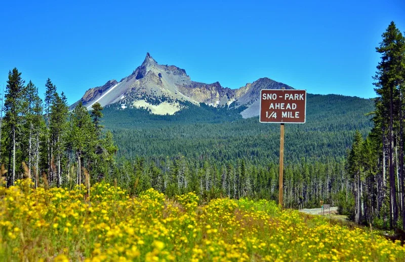
While Mount Saint Helens was a reminder to take warnings seriously, that does not mean every Volcano is ready to blow at any moment. These giants will give us plenty of warning, and offer some amazing recreation opportunities to explore. Here in Bend, we have our choice of quite of view stunning peaks. From the vistas of South Sister's summit to the Obsidian Flows of Newberry Caldera.
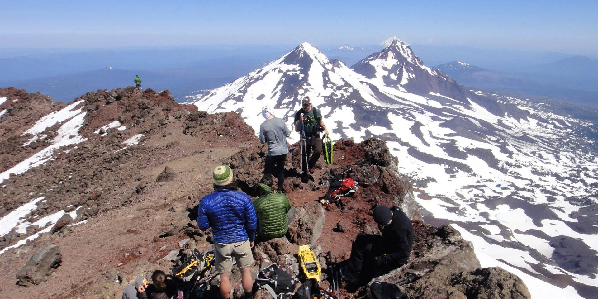
Hikers on the Summit of South Sister

Volcanic glass, or obsidian, in Newberry Caldera
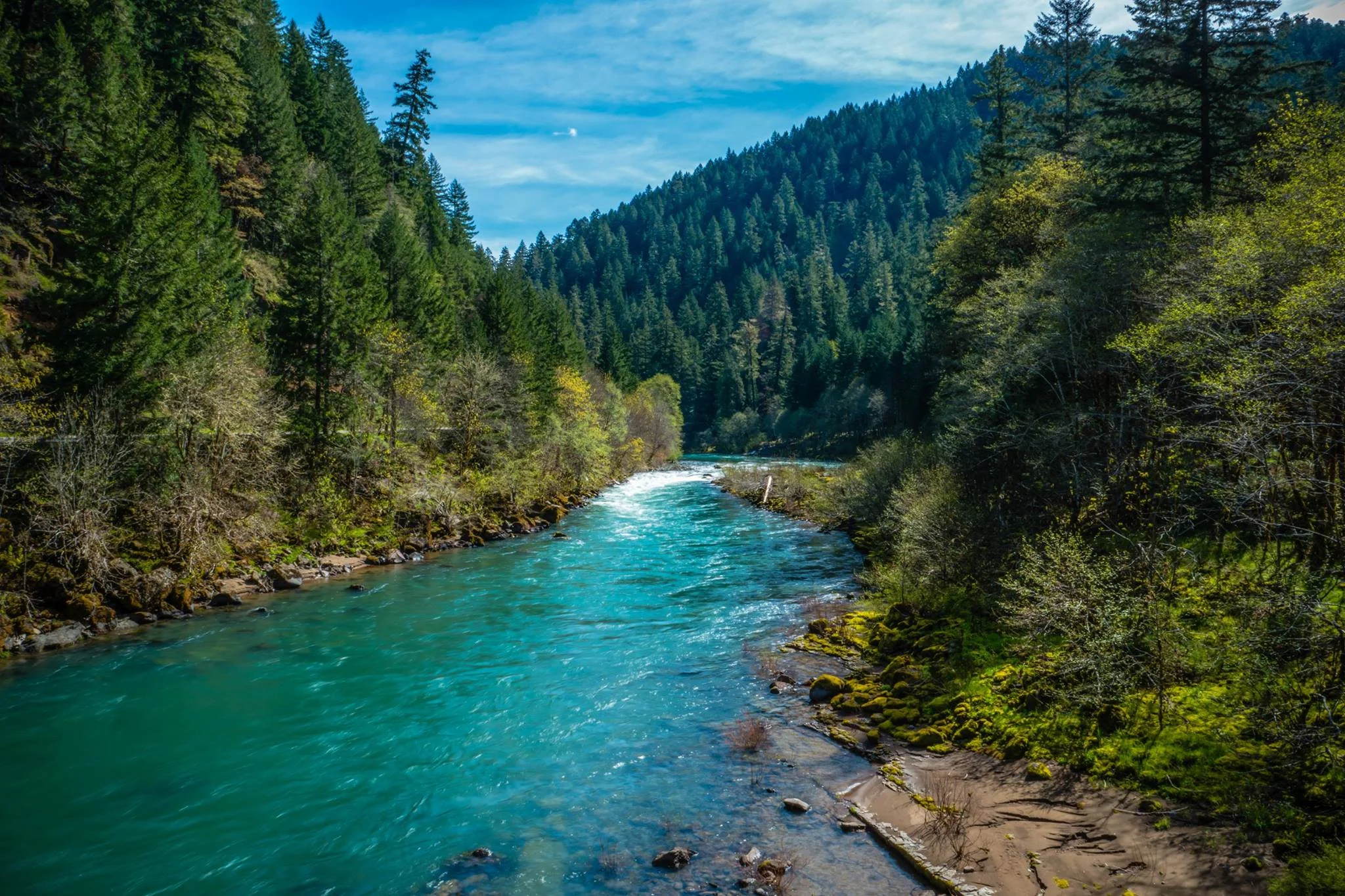
The Cascade Lakes Scenic Byway is a great way to experience the Volcanic Peaks. Drive up the mountains, past countless mountain lakes, and through the great peaks of Central Oregon. Take your kayak, paddleboard, or canoe and hit the water. Those who get on the water will enjoy the clear lakes, stunning views, and abundance of wildlife. Better yet, join Wanderlust on a Brews, Views, and Canoes Tour. You will get to enjoy the beauty of the Cascade Lakes, learn about the Volcanoes, and experience a beer tasting all in the same afternoon.
A more Volcano-centric tour we offer is our Volcano Tour. This tour focuses on Newberry Caldera, the center of the Newberry Volcanic System. Check out our Volcano Tour Page for more information!